Canyon Walk: Cottonwood Narrows

Exploring Cottonwood Canyon Road in April 2017, I could find no way down into the Cottonwood Narrows at this northern end. No signs, no trails, just wandering around finding four to six foot drops into the canyon. I can jump down, BUT how do I get back up? Good to think ahead. Hoping the access they created for us is easy. Come on along into the Narrows!

Here we go . . .

Cottonwood Canyon Road, Utah’s Geologic Rainbow

About 20 miles southeast of Bryce Canyon National Park is a 40-mile road that will take your breath away: Cottonwood Canyon Road. It is in the southwest part of Grand Staircase-Escalante National Monument, a rugged, remote 1.87 million acre wilderness and a Utah jewel. The landscape has unique geologic formations of red, white, pink, blue, green, yellow, and more. Coming up out of the sagebrush valley, we are south of Kodachrome Basin State Park. Our “kodachrome” colors will only get better! The first six miles of Cottonwood Canyon Road is paved, but then we adventure on a graded dirt and clay surface with warnings to never travel when raining. Well, it is a beautiful day with no rain forecast so off we go!

Look, the colors are changing . . .

SNAP*Shot: Atlatl Rock

Near the western entrance of Valley of Fire State Park we find dark red Aztec sandstone. In the red rock nooks and crannies campsites are available and at this outcropping’s northern end is Atlatl Rock. Home to petroglyphs about 4,000 years old carved by unknown ancient tribes. Yes, these peoples lived sometime around 2,000 B.C. and we can only imagine their thoughts through their art. Let’s go!

Come on, this is amazing.

SNAP*Shot: Mountain Bluebirds

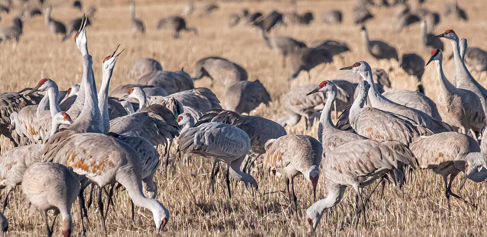
Hello friend! It was a wonderful trip spending time with Sandhill Cranes this March. However, there was another site I know you’ll enjoy as much as I did. What a surprise to spend time with a flock of Mountain Bluebirds (Sialia currucoides). You cannot miss them hunting in the grasses. They clearly do not blend in.

Look over there!