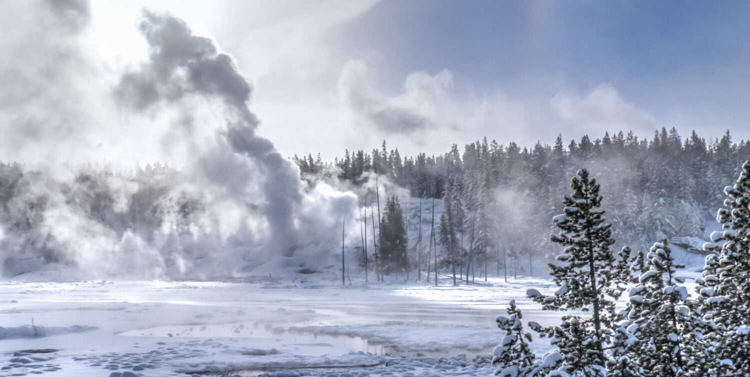
I saw the sign so many times–Harlequin Lake–but I could never see the trailhead. Was it further up or down the road? Did so few people walk the trail that the surrounds swallowed it up? Well, why don’t I just park across from the sign and take a good look. I see it . . . uhhhhh . . .
SNAP*Shot: Gibbon River
The Gibbon River begins its life in Grebe Lake found in the center of Yellowstone National Park. About 20 miles from it’s origin we find Gibbon Falls. This river sneaks in on the eastern side of the Continental Divide making it one of the few rivers in the park flowing from north to south. Crashing down 84 feet right along the Loop Road, we can take a short walk to see the wilderness framing the falls. Flowing another 4.7 miles south, the river joins the Firehole River forming the Madison, a major tributary of the Missouri River. The gift of water flowing from the mountain tops of Montana and Wyoming.
Between Dry and Wet–Northern Edge of Yellowstone
Six miles north of the Roosevelt Arch in Gardiner, Montana, runs Reese Creek which marks the northern boundary of Yellowstone National Park. This area is barely explored, and most people who come to Yellowstone don’t realize this dirt road, called Old Yellowstone Trail, is part of Park. Let’s walk toward Electric Peak among the sagebrush and along the creek. April is barely springtime in Yellowstone, but let’s see what we can see in the spaces between arid and water.
SNAP*Shot: Time Out On The Way with Bighorn Sheep
You know, sometimes an amazing thing happens along the road before you ever make it to the trailhead. Although I’m excited and expectant for the great walk I’ve planned for this first week of December, slowing down and looking around applies to the car trip too. The planned walk has to wait, this is too good to miss! See them?


